Ganoderma basal stem rot in oil palm: what teams can see, and what they cannot
A field-grounded guide to Ganoderma basal stem rot symptoms, disease progression, confirmation, and the role of repeat remote sensing.
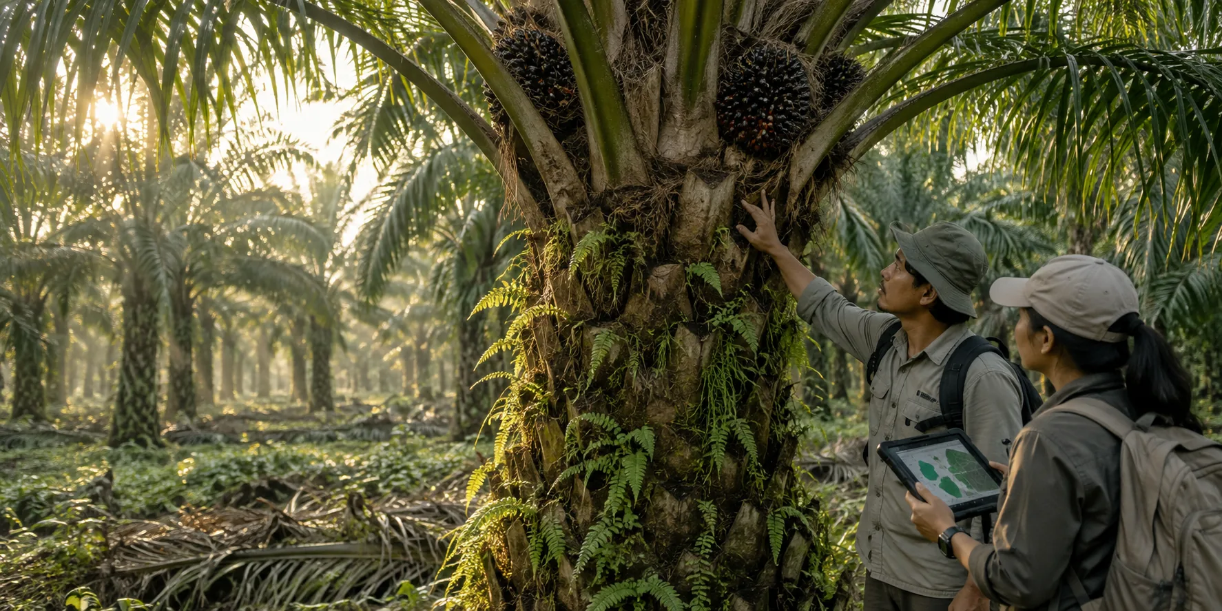
Short answer
Ganoderma basal stem rot is a destructive oil-palm disease associated principally with Ganoderma boninense in Southeast Asia. It degrades roots and basal stem tissue, reduces the palm’s ability to function, lowers fresh-fruit-bunch production, and can eventually cause structural failure or death. The difficult part is timing: obvious external symptoms may appear only after substantial internal damage.
PalmWatch does not claim to diagnose the pathogen from the air. It uses repeated observations to identify persistent change, directs higher-resolution surveys toward priority areas, and gives agronomists a traceable record for field confirmation.
What teams may observe
Published reviews describe a collection of possible field signs rather than one decisive visual symptom. These can include:
- yellowing or wilting fronds;
- unopened or shortened spear leaves;
- a flattened or one-sided canopy;
- a skirt of dead fronds hanging around the trunk;
- reduced vigour and fresh-fruit-bunch production;
- decay near the stem base; and
- fungal fruiting bodies on the lower trunk in advanced cases.
None of these signs is exclusive to Ganoderma. Water stress, nutrient constraints, root damage, pests, planting material, drainage, and management history can produce overlapping canopy responses. That is why a map of “red palms” without context is not a defensible disease product.
Why early screening is difficult
An oil-palm crown is the visible outcome of processes occurring through the roots, stem, soil, water supply, weather, and management. Ganoderma can remain partly hidden within basal tissues while the canopy still looks broadly normal. Once the crown changes, the signal may be real but not specific.
Remote sensing therefore faces two separate questions:
- Is this palm or block changing differently from a relevant comparison?
- Is Ganoderma the cause of that change?
Satellite and drone observations can contribute strongly to the first question. They cannot settle the second without evidence collected on the ground.
A defensible observation chain
1. Establish identity and context
Each palm or management unit needs a stable identity. Planting age, block, terrain, drainage, known interventions, seed source where available, and neighbouring observations form the comparison frame. Without this frame, a vegetation index is just a number.
2. Watch the estate repeatedly
Satellite time series can reveal broad patterns: a block that is declining relative to similar blocks, a growing spatial cluster, or a persistent change following a weather or management event. Cloud and native pixel size limit what an optical satellite can say about an individual crown, especially in dense mature stands.
3. Move closer where evidence persists
Targeted drone capture can provide finer spatial detail and additional signal families. RGB imagery supports visible crown structure and colour assessment. Multispectral capture can describe reflectance in selected red-edge and near-infrared bands. Thermal observations may reveal canopy-temperature differences under controlled conditions.
The value comes from calibrated, repeatable collection—not from owning a sensor. Flight time, illumination, calibration panels, altitude, overlap, weather, and processing must be controlled well enough for one survey to be compared with another.
4. Ask an agronomist to verify
A prioritised record should contain the evidence behind the priority: time-series change, neighbouring comparisons, available imagery, confidence, and possible confounders. Field teams can then inspect the crown, trunk, basal tissues, roots, drainage, nearby palms, and management context. Laboratory confirmation may be appropriate where the operating protocol requires it.
5. Keep the outcome attached
The field result must return to the same record. “Ganoderma confirmed”, “other stress”, “healthy on inspection”, and “repeat visit required” are operationally different outcomes. Keeping them attached creates an audit trail and, with sufficient quality control, a stronger future training dataset.
What PalmWatch changes operationally
Traditional scouting is essential but difficult to apply with equal intensity across every hectare. PalmWatch is intended to help allocate that attention. It combines broad, repeat observation with selective detail so teams can inspect where evidence is persistent, spatially meaningful, or operationally urgent.
That is a workflow improvement, not a cure. Disease management choices remain the responsibility of estate professionals working within local agronomic and regulatory guidance.
The standard for a credible alert
A useful alert should answer more than “which index crossed a threshold?” It should show:
- which observation changed;
- whether the change persisted across time;
- how relevant neighbours behaved;
- whether cloud, shadow, capture conditions, or recent management could explain it;
- which signal families agreed or conflicted; and
- what confirmation step is recommended next.
The goal is not maximum alert volume. It is a shorter, better-evidenced queue for human review.
Questions this article answers
Can an image confirm Ganoderma in an oil palm?
No. Imagery can reveal patterns that deserve inspection, but confirmation depends on qualified field assessment and, where appropriate, laboratory testing.
Why can visible symptoms be late?
Ganoderma can decay internal stem and root tissue before obvious external symptoms appear, so a palm may already be seriously affected when field signs become clear.
What is PalmWatch designed to do?
PalmWatch is designed to watch change across an estate, prioritise palms or blocks for closer review, and keep imagery, inspections, and confirmation results connected.
Continue the evidence trail