Screening, not diagnosis
A persistent anomaly can prioritise inspection. Ganoderma confirmation still depends on qualified field assessment and, where appropriate, laboratory testing.
White paper · Version 2.0
PalmWatch connects repeat landscape observations with targeted close inspection. The aim is not to turn imagery into an automatic diagnosis, but to make change visible, reviewable, and traceable.
Executive summary
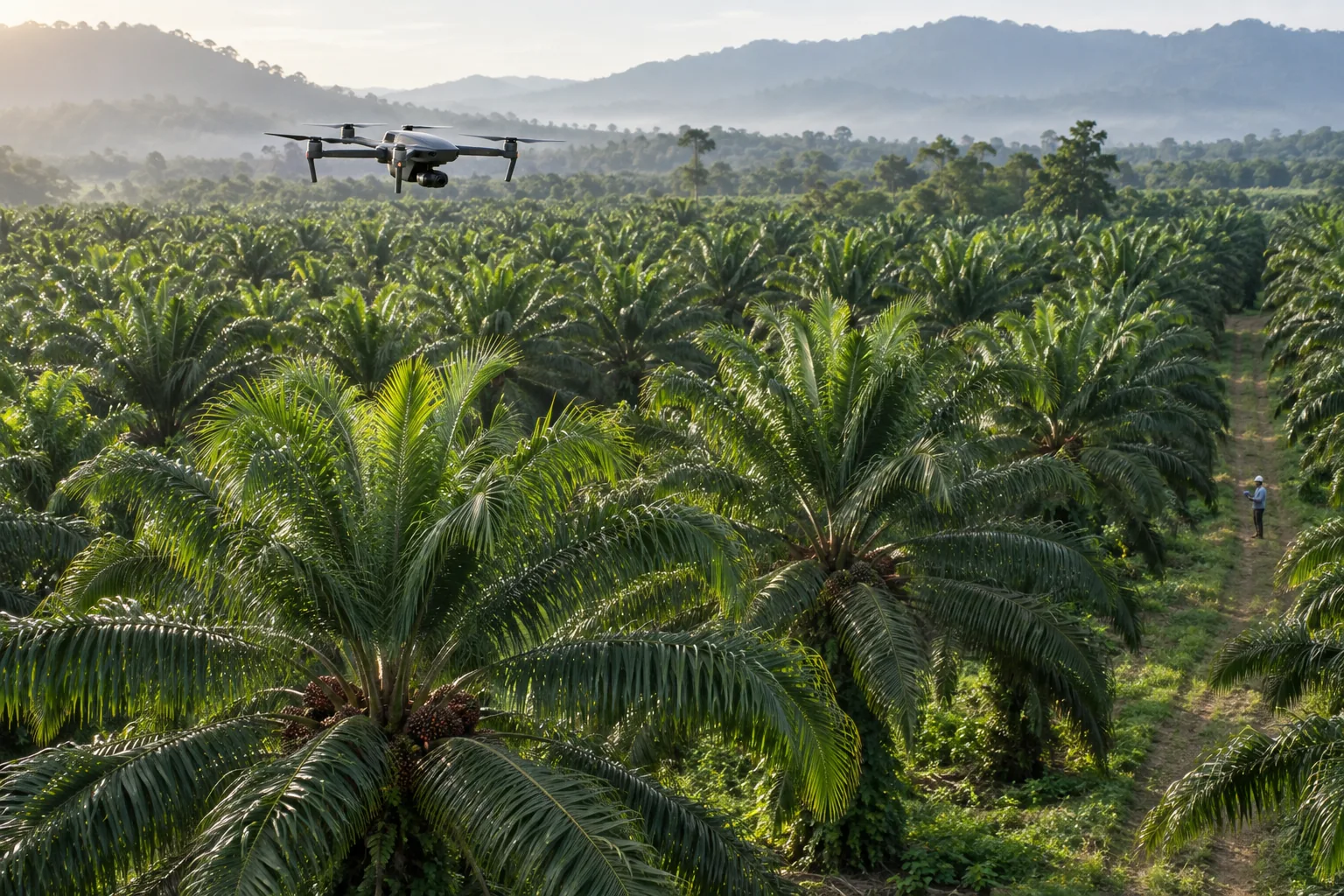
Satellite time series help teams watch broad change across an estate. Targeted drone flights then provide higher-resolution RGB, multispectral, and thermal evidence over priority areas. Agronomists and laboratories close the loop.
That division of labour matters: medium-resolution satellite pixels may contain several palms and surrounding ground, while drone imagery can support closer crown-level comparison. Neither should be treated as a disease verdict on its own.
Build repeat estate-wide observations from optical and, where useful, radar sources. Weather, terrain, and independent soil-context datasets add explanatory context.
Compare blocks and time periods while accounting for cloud, seasonality, sensor differences, palm age, and management events.
Collect calibrated RGB, multispectral, and thermal evidence over priority blocks instead of treating every hectare as equally urgent.
Attach inspection findings and, where required, laboratory results to the same palm or block record.
Track intervention, follow-up observations, and unresolved cases through a consistent audit trail.
Why two viewing scales?
Evidence boundaries
A persistent anomaly can prioritise inspection. Ganoderma confirmation still depends on qualified field assessment and, where appropriate, laboratory testing.
Satellite observations can contribute vegetation and surface-condition signals. Soil maps, sampling, weather, terrain, and management records remain separate contextual inputs.
Vegetation indices vary with sensor, canopy, illumination, season, soil background, and processing. Models must be tested on farms excluded from training.
Ganoderma impact
An MPOB case study in Johor reported FFB reductions from 0.04 to 4.34 tonnes per hectare across palms aged 10 to 22 years—approximately 0.016 to 1.76 tonnes per acre. This is a study-specific range, not a universal annual loss for every acre.
A separate Bayesian model estimated economic loss could reach 68% of attainable yield among infected palms. Estate exposure therefore depends on how much area is affected, the age and productivity of those palms, disease progress, neighbouring infection, price, and management response.
Open the loss methodology and calculator →Proposed PalmWatch research design
These figures describe a recommended minimum design for expanded validation. They are not accuracy, deployment, or customer-performance claims.