Satellite monitoring for oil-palm estates: continuous context, honest limits
How repeat satellite observations can screen estate-wide change—and why cloud, mixed pixels, and indirect soil signals still require closer evidence.
Short answer
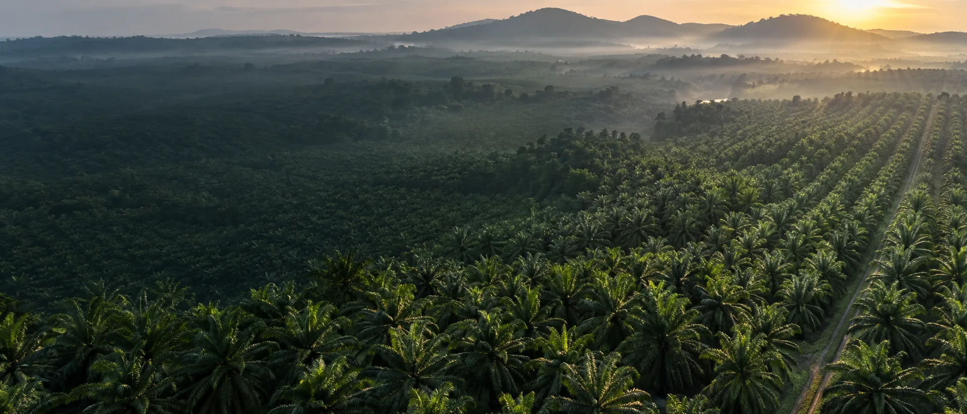
Satellite monitoring gives oil-palm teams a repeatable way to watch large areas, compare blocks, and identify where change deserves closer investigation. It is efficient because the same observation system can revisit broad landscapes without flying every hectare.
It is not a live, cloud-free view of every palm. The strongest operational model uses satellite time series for estate context, targeted drones for finer spatial evidence, and field teams for confirmation.
What “continuous” should mean
In estate monitoring, continuous should describe a maintained observation record—not uninterrupted imagery. Optical satellites acquire scenes on a schedule. Cloud and haze can hide the surface. Some acquisitions will be unsuitable, and processing adds latency.
The European Space Agency describes Sentinel-2 as a multispectral mission with 13 bands, a nominal five-day two-satellite revisit at the equator, and spatial resolutions of 10, 20, and 60 metres depending on the band. Actual usable frequency over a tropical plantation can be lower because revisit is not the same as clear observation.
NASA’s Harmonized Landsat Sentinel-2 product combines Landsat and Sentinel observations into a consistent 30-metre surface-reflectance record. This can improve time-series density for regional monitoring, while retaining the spatial limitations of medium-resolution data.
Questions satellite data can support
A well-designed time series can help teams ask:
- Is one block changing differently from comparable blocks?
- Is a pattern persistent or present in only one acquisition?
- Is change expanding spatially?
- Did the signal appear after flooding, drought, replanting, clearing, or another recorded event?
- Which areas should receive drone or field attention first?
Those are screening and prioritisation questions. They are valuable because they narrow the search space without pretending the broad view is the final answer.
The mixed-pixel problem
A 10-metre pixel covers 100 square metres. In a plantation, its reflectance may include parts of several crowns, shadow, understory, bare soil, access paths, water, or gaps. Red-edge bands with 20-metre native resolution cover an even larger footprint.
This does not make satellite data useless. It changes the unit of interpretation. A time series may describe neighbourhood or block behaviour more reliably than an individual palm. When crown-level decisions matter, closer imagery and ground evidence become necessary.
Weather, terrain, and soil context
Weather records can help explain vegetation and thermal change. Rainfall, temperature, vapour-pressure deficit, and extreme events may affect canopy response. Terrain influences water movement and exposure. Soil maps and samples can describe properties that optical imagery does not directly measure.
PalmWatch treats these as joined contextual layers, not as interchangeable satellite products. Saying “satellite soil data” without naming the actual source, depth, date, method, and uncertainty would overstate what the sensor observed.
A practical monitoring cadence
The workflow should be event-driven rather than calendar-only:
- Ingest and quality-screen new satellite observations.
- Normalize them against season, sensor, and relevant comparison areas.
- Identify changes that persist across suitable dates.
- Review management events and environmental context.
- Promote only the strongest cases into a drone or field queue.
- Feed confirmed outcomes back into the estate record.
This approach avoids dispatching teams because of one cloudy scene, a shadow edge, or a short-lived seasonal response.
Where radar may help
Radar satellites can observe through cloud and respond to canopy structure and moisture-related properties, but interpretation is different from optical reflectance. Radar is not a magic substitute for optical imagery. Geometry, speckle, soil and canopy moisture, incidence angle, and processing choices matter.
When used, radar should be treated as another signal family whose value must be validated locally.
The best-of-both-worlds model
Satellite imagery supplies breadth and repetition. Drone imagery supplies selective detail. Field confirmation supplies biological meaning. PalmWatch connects the three so a broad anomaly can be followed into a closer measurement and then into a documented human decision.
The outcome is not more maps. It is a more efficient route from estate-wide observation to verified action.
Questions this article answers
Can a satellite monitor an oil-palm estate continuously?
Satellites can provide systematic repeat observations, but usable optical coverage depends on acquisition schedules, cloud, haze, processing, and data latency. Continuous monitoring means an ongoing time series, not an unobstructed live video feed.
Can Sentinel-2 resolve an individual oil palm?
Sentinel-2 has 10, 20, and 60 metre bands. In mature planting patterns, a pixel can mix multiple crowns, gaps, understory, and soil, so it is strongest for block and neighbourhood context rather than definitive palm-level diagnosis.
Does satellite imagery directly measure soil nutrients?
Not generally. Satellite observations can contribute surface and vegetation signals, while soil properties usually require separate maps, sampling, models, or contextual datasets.
Continue the evidence trail